
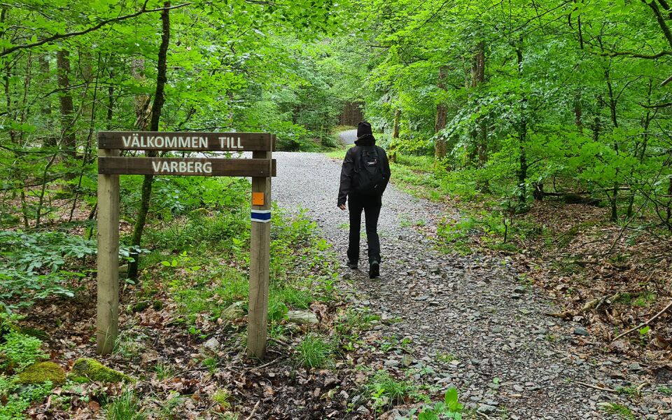
Stättared - Veddige
- Length
- 15 km
- Degree of difficulty
- Red
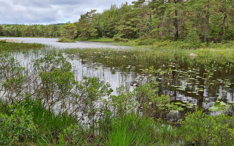
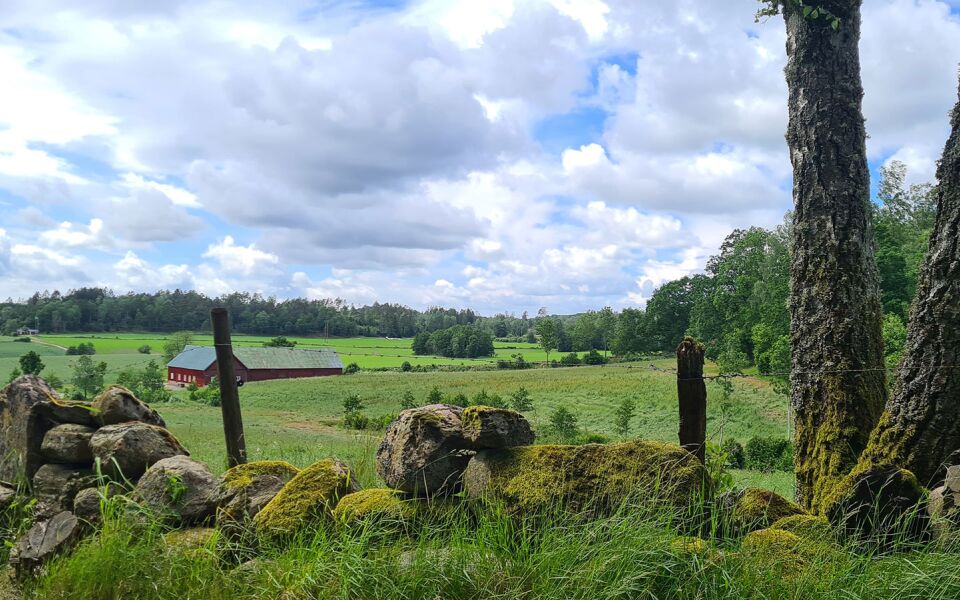
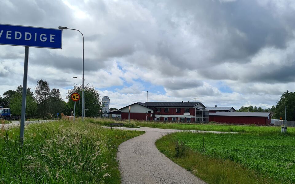
The trail passes some beautiful vantage points where you can admire the Stora Hornsjön lake. You’ll head past the ruins of the old Dalen croft, a remarkable stone slab bearing inscriptions and an old stone bridge. You’ll walk along some lovely nature trails past small lakes before you reach the village of Veddige. The name of this place dates back to Viking times, when it was called Vidhogher. In Veddige, you’ll have chance to stock up on supplies and access public transport. Dranstugan is the nearest campsite.
Degree of difficulty Red
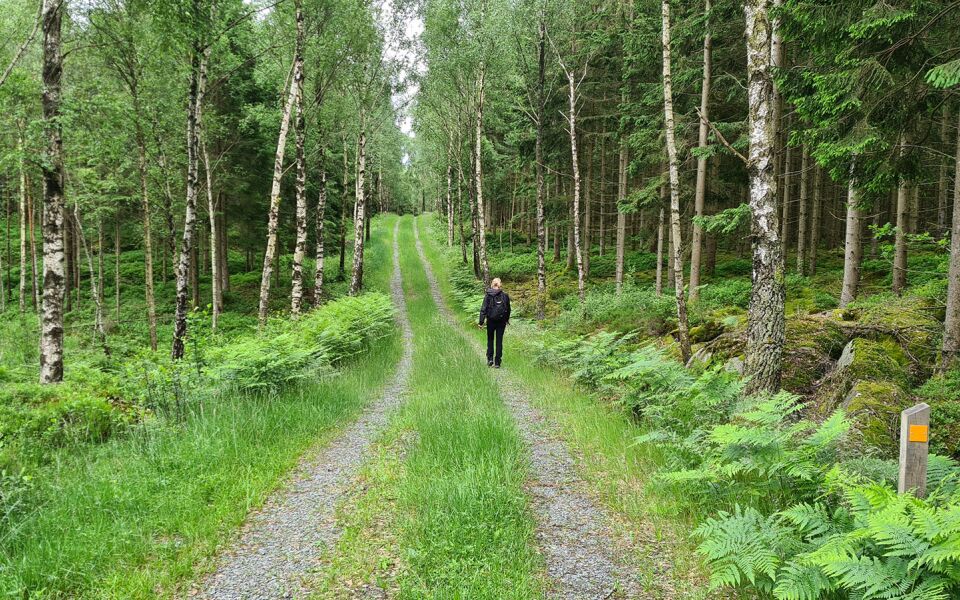
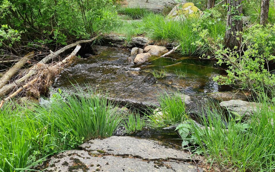
After an easy section on a forest road and country lane around the southern tip of Stora Hornsjön, the trail climbs up to higher elevations heading south. Here, the terrain becomes considerably hillier and in places the trail follows narrow paths over wet ground. The last part of the journey to Veddige is on an easy cycle track.
Things worth seeing on this stage:
Dalen timber cabin
Beautiful view over the lake Hornsjön
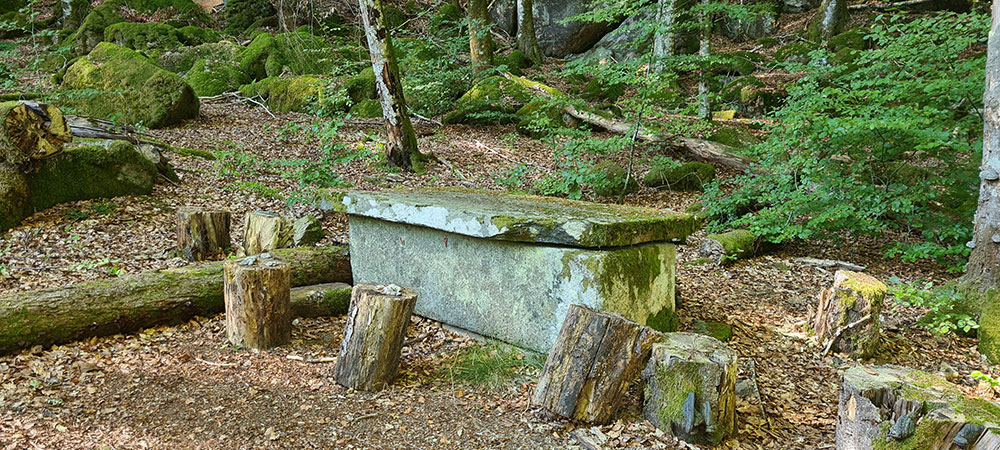
Stone slab with inscriptions
Stone bridge from the past
Veddige portar
Accommodation
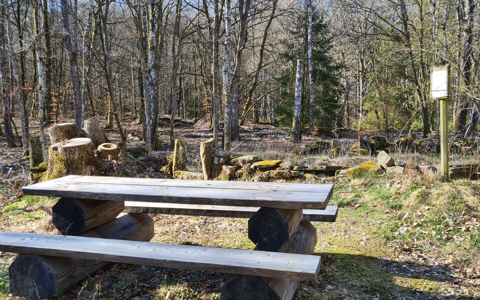
Shelters at Stättared/Hornsjön(lake) and Dranstugan. The shelters can accommodate 4–5 adults, and there is a fireplace with firewood. Toilets are located at Stättareds gård, a farm where you can also fill up on drinking water. There is a dry toilet and drinking water in the summertime at Dranstugan. You can find the water tap beside the red building that is open all year round – the tap is activated with a push button.
Stättareds vandrarhem, +46 (0)340 300 03
A separate side path leads up to Stättared gård, a 4-H farm that serves as a place to stay the night. There, you can choose between staying under a roof, in a tent or in a shelter.
15 km
Degree of difficulty
About Difficulty Grading
The grading is tailored for Swedish lowland trails that adhere to the quality criteria established by the national framework for hiking trails.
Even and firm ground: The terrain is generally flat. The hike requires no need to use your hands for support. No obstacles. Bridges are always present when crossing waterways.
Uneven and/or soft ground: Some changes in elevation. Certain sections may require hand support to maintain balance. There may be obstacles such as low stiles and short stairs. Minor obstacles like stones and roots. Boardwalks are present.
Loose or slippery ground combined with steep sections: Technical parts require hand support. There may be obstacles such as high stiles and longer stairs. Frequent sections with stones and/or roots. Boardwalks with deeper surrounding water.
Note: One or more of these features may be present along the trail section.
Red
- Viskans dalgång
- 15-25 km
- Hallandsleden
- 7-15 km


Highlights along the section
Here are some of the sights and places to visit along the section.
Recommended hikes
Our recommendations for various hikes – short or long, with or without accommodation.
Show allNews
Here you will find information about what's new on the trail as well as current redirections and disturbances.
Continue on the trail
Share your experience
Share your experience by tagging your photos with #hallandsleden.